
A map showing how Kirk Hallam and Little Hallam have changed over the decades is being sold at venues around the borough.
The old map demonstrates the changes over 70 years. Ilkeston and District Local History Society is behind the reprint of a 1938 Ordnance Survey map, which shows Kirk Hallam as a village with 300 residents, compared to 7,500 today - there is neither a post office or shop shown on the map. In Little Hallam, the Sanatorium was still in use and new homes had been provided to local colliery workers. To purchase a copy of the map for £1.50, visit Ilkeston Library, Erewash Museum in High Street, Ilkeston or Shipley Park Visitor Centre.
 Borough Council boosts public safety with new bleed kits
 Villagers salute brave seven killed in bomber crash
 Ilkeston Police issue an appeal in response to an increased number of reports of rural fly-tipping
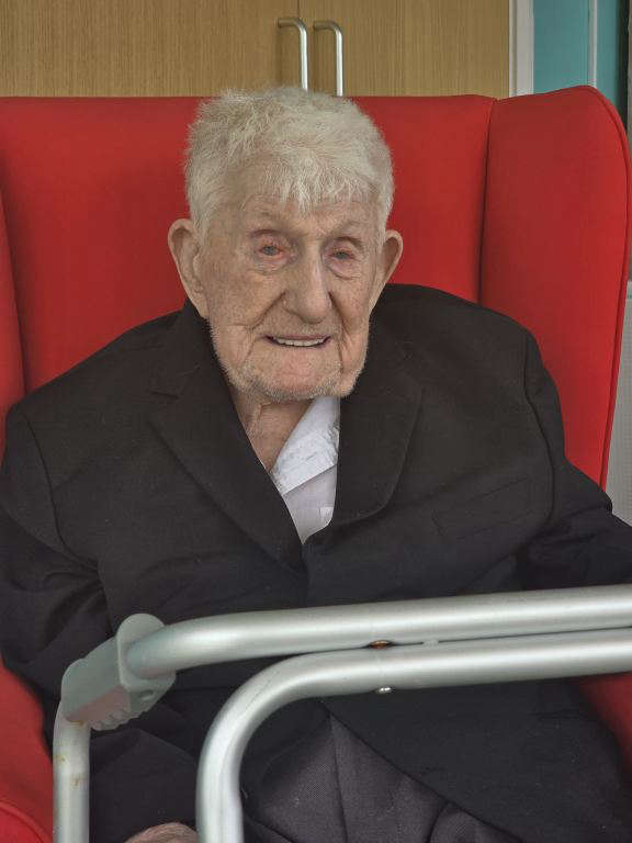 Tributes paid as oldest man dies at age 110
 New Assisted Travel Support team launches to help rail passengers on their journeys